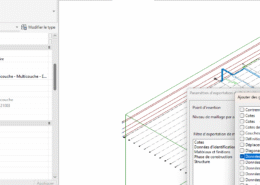
I’m running into an issue where metadata isn’t being exported when using the Datasmith export via the Twinmotion plugin in Revit. I’ve tested this across multiple versions of Revit (2024, 2025, and 2026). In each case, I added custom ...
BIM Help Center Latest Questions
Tips on using Dynamo to reconstruct BIM elements ???
I’m looking for best practices to manage and structure MEP systems in Revit, including: System Navigator, classification, types, naming conventions, and abbreviations. Connectors, system connections, and classification segments. Discipline-specific hierarchy for MEP systems (e.g., HVAC, Plumbing, Electrical) in compliance with ISO standards. Ensuring ...
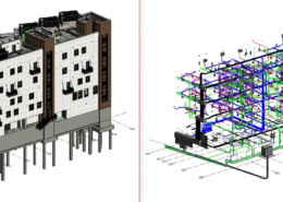
I’m trying to export my multi-discipline Revit project to the Datasmith format for use in Unreal Engine. The project includes multiple heavy Revit models that are linked together. What is the best workflow to export these projects while maintaining ...
looking to regenerate the topography surface in InfraWorks from a DWG file to achieve higher accuracy, any tips ?
I’m looking to add or change parameters on objects in an IFC file, but I’d like to avoid using Dynamo. Are there other tools or straightforward ways to do this ? Thanks!
Best methods to extract high-accuracy contour lines ?
Has anyone here used the “Undet Point Cloud” plugin for Revit? How was your experience? Also, are there any other good plugins for working with point clouds in Revit that you’d recommend? Thanks!

